Hello World: Why I Became a GeoAI Engineer
My journey from traditional GIS to building intelligent geospatial systems with Python and AI
In the world of programming, we always start with “Hello World.” But for me, the “World” wasn’t just a string of text on a console; it was the actual, physical world we live in—represented by data, coordinates, and maps.
I’m Araz Shahkarami, and I am a GeoAI Engineer.
For over seven years, I worked as a Software Engineer and GIS Developer. I’ve built backends with Python and Django, wrestled with complex SQL queries in PostGIS, and spent countless hours optimizing geospatial APIs. I loved the logic of code, but I was fascinated by the “where” component of data.
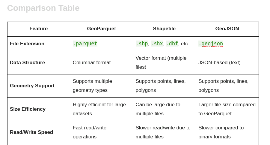
The Problem with Traditional GIS During my career, I noticed a recurring pattern. GIS (Geographic Information Systems) is incredibly powerful, but it often feels like an exclusive club. The tools are complex, the learning curve is steep, and analysts spend hours doing repetitive manual tasks—digitizing, converting formats, and cleaning data.
I asked myself: Why can’t we just talk to our maps?
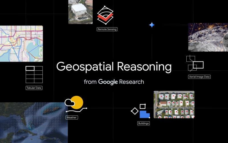
The Pivot: Enter AI When Large Language Models (LLMs) emerged, I saw the missing piece of the puzzle. I realized that by combining the precision of Python and GIS with the reasoning capabilities of Artificial Intelligence, we could change everything.
This realization led me to my current path: GeoAI.
I am now focused on building systems where you don’t just click buttons; you define intent. I’m working on projects like GeoChat, a platform that allows users to perform complex spatial analyses using natural language prompts.
What You’ll Find Here I created this blog to document my journey from a traditional developer to a GeoAI innovator. Here, I will share:
Tutorials: How to automate QGIS workflows with Python.
Deep Dives: Building Geospatial APIs and optimizing PostGIS.
Experiments: Connecting LLMs (like Claude and GPT) to spatial data.
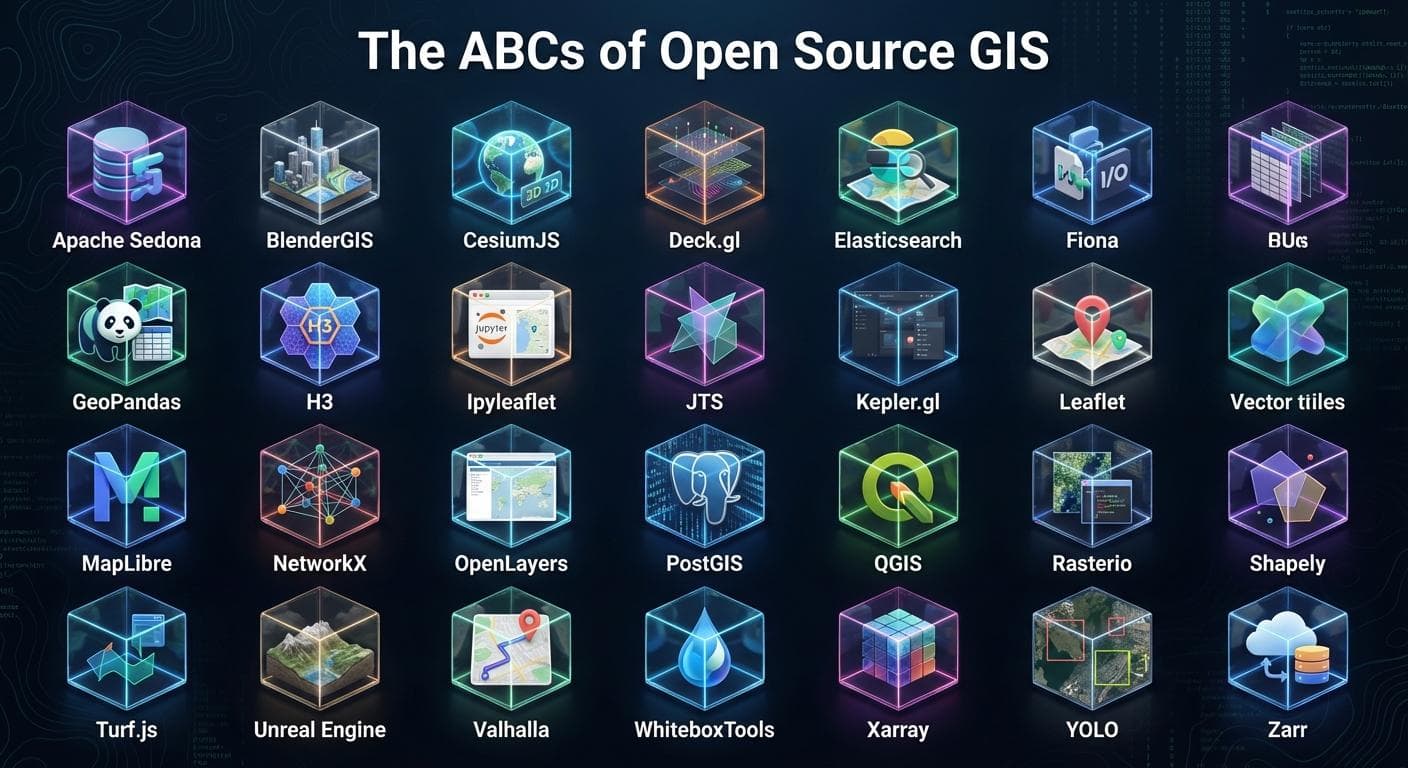
Open Source: My experiences as an OSGeo Advocate.
The Next Chapter My goal is simple: to democratize geospatial analysis. Whether you are a developer, a GIS analyst, or just curious about maps, I hope my writing helps you see the world a bit differently.
I’m also launching a free 10-part QGIS course soon to help beginners get started with the fundamentals.
Thank you for stopping by. Let’s build the future of mapping, one line of code at a time.